Verification of geometric congruence between original maps of establishment and current vector based maps
Keywords:
Map of establishment, Cadastral eXchange Format (CXF), georeferencingAbstract
The recent informatization process of the cadastral cartographic heritage has resulted, in some cases, in a worsening of the geometric
quality of maps; in fact, new distortions due to scanning, georeferencing and vectorization of the original maps have been added to
the errors already inherent the map.
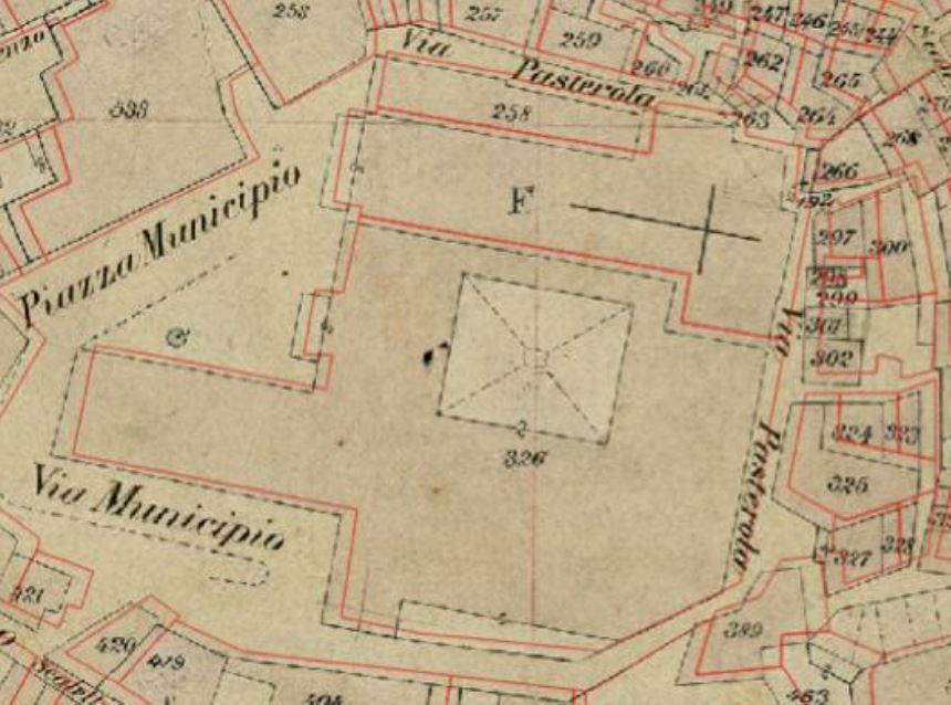
In this work, the geometric congruence between the original maps of establishment and the current vectorial maps exportable from
the WEGIS (Web Enabled GIS) in CXF (Cadastral eXchange Format), has been verified by examining several sheets of the Eboli
town (SA).
Since the above format is not supported by the main commercial software products, a Java tool has been implemented, that allows to
read CXF files, manipulate appropriately the geometries and the information contained therein and, finally, generate and export the
map sheets in shapefile format. Although there are several software that perform these operations, it was decided to develop a new in
Java to provide a basis for future implementation, of the functionalities described above, in a web service provided by the application
server WildFly (formerly known as JBoss).
At a later stage, the actual maps of establishment (available as non geo-referenced raster files) were georeferenced in order to be
compared with the current cadastral maps. This operation was repeated by using various transformations (linear, second and third
order polynomial) and, for each of them, the precision was estimated based on the residuals analysis.
After each georeferencing process, for each raster, a shapefile of some land parcels uniformly distributed in the original map was
created. By comparing the two shapefiles obtained, respectively, from the CXF vector map and from the original georeferenced map,
the shifts in the north and east directions, as well as, the differences of area between current and original land parcels were evaluated.
Downloads
Downloads
Published
How to Cite
Issue
Section
License

This work is licensed under a Creative Commons Attribution-ShareAlike 4.0 International License.

